Cleygate Common, Ash Ranges
Introduction
The photograph on this page of Cleygate Common, Ash Ranges by Alan Hunt as part of the Geograph project.
The Geograph project started in 2005 with the aim of publishing, organising and preserving representative images for every square kilometre of Great Britain, Ireland and the Isle of Man.

There are currently over 7.5m images from over 14,400 individuals and you can help contribute to the project by visiting https://www.geograph.org.uk
Cleygate Common, Ash Ranges
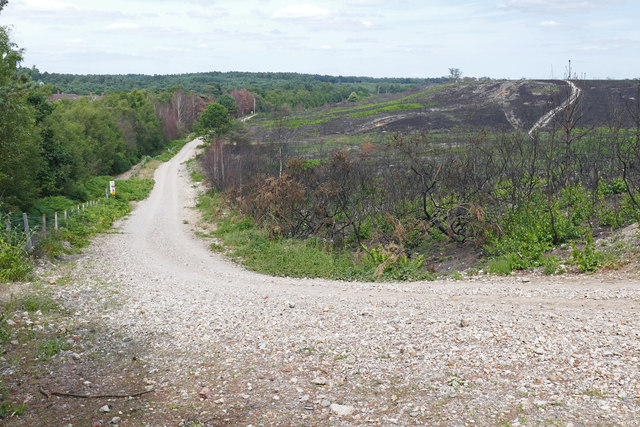
Image: © Alan Hunt Taken: 11 Jul 2015
The view from Furze Hill across Cleygate Common showing the damage after the major fire in April 2015. The track is the range perimeter road with the Keogh Barracks off to the left and Spur Hill on the right.
Images are licensed for reuse under creativecommons.org/licenses/by-sa/2.0
Image Location
Latitude
51.277636
Longitude
-0.71466