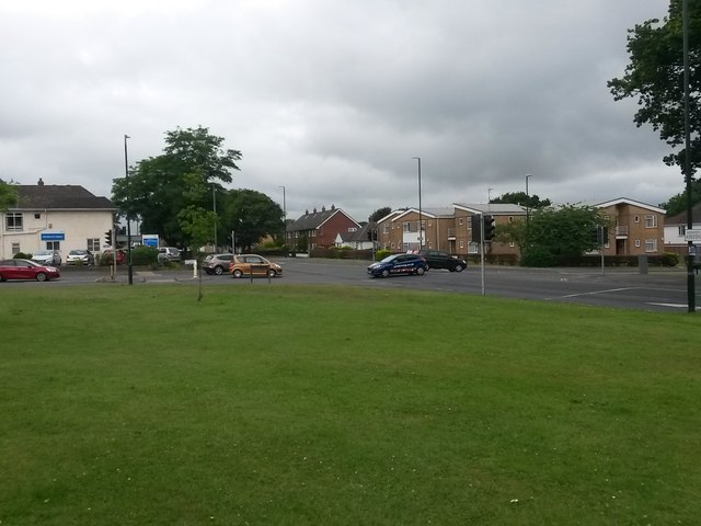
Northbourne: Headless Cross
Introduction
The photograph on this page of Northbourne: Headless Cross by Chris Downer as part of the Geograph project.
The Geograph project started in 2005 with the aim of publishing, organising and preserving representative images for every square kilometre of Great Britain, Ireland and the Isle of Man.
There are currently over 7.5m images from over 14,400 individuals and you can help contribute to the project by visiting https://www.geograph.org.uk

Image: © Chris Downer Taken: 15 Jul 2015
Nowadays the name Headless Cross is almost completely lost, although the junction is still named as such by the Ordnance Survey on its largest scale maps. It is said to have derived from the original 'T' shape of the junction of East Howe Lane (left) with Wimborne Road, although this is surely a standard junction shape. In everyone's living memory it has been a standard crossroads with The Broadway, which runs off to the right and must have been connected here at least 50 years ago and possibly very much longer. It is a major crossroads on the main Wimborne Road through to Kinson, with East Howe Lane being an important suburban route, though unclassified. The white building on the corner is Northbourne Surgery.

