Entrance to the Old Baptist Chapel, Whitebrook
Introduction
The photograph on this page of Entrance to the Old Baptist Chapel, Whitebrook by Jaggery as part of the Geograph project.
The Geograph project started in 2005 with the aim of publishing, organising and preserving representative images for every square kilometre of Great Britain, Ireland and the Isle of Man.

There are currently over 7.5m images from over 14,400 individuals and you can help contribute to the project by visiting https://www.geograph.org.uk
Entrance to the Old Baptist Chapel, Whitebrook
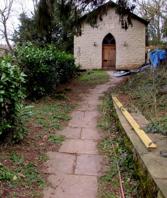
Image: © Jaggery Taken: 1 Feb 2015
Converted to residential use, accessed from a lane SW from the main road through Whitebrook. The National Archives website states that the chapel closed in 1989.
Images are licensed for reuse under creativecommons.org/licenses/by-sa/2.0
Image Location
Latitude
51.754881
Longitude
-2.676359