Mill Leat, Mellon's Copse
Introduction
The photograph on this page of Mill Leat, Mellon's Copse by Derek Harper as part of the Geograph project.
The Geograph project started in 2005 with the aim of publishing, organising and preserving representative images for every square kilometre of Great Britain, Ireland and the Isle of Man.

There are currently over 7.5m images from over 14,400 individuals and you can help contribute to the project by visiting https://www.geograph.org.uk
Mill Leat, Mellon's Copse
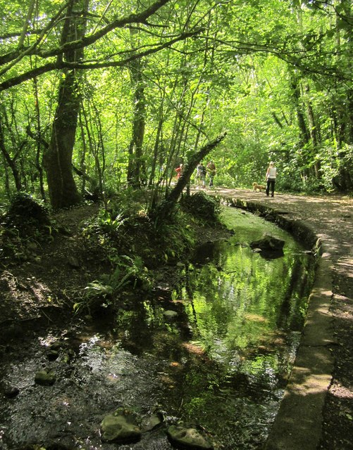
Image: © Derek Harper Taken: 5 Jul 2015
More or less a reverse view of Image, with Newton Abbot Footpath 9 heading up the Lemon valley. The leat served several mills in Newton Abbot, including Bradley Fellmongery Mill.
Images are licensed for reuse under creativecommons.org/licenses/by-sa/2.0
Image Location
Latitude
50.527068
Longitude
-3.631419