Track towards George Street, Caerau
Introduction
The photograph on this page of Track towards George Street, Caerau by Jaggery as part of the Geograph project.
The Geograph project started in 2005 with the aim of publishing, organising and preserving representative images for every square kilometre of Great Britain, Ireland and the Isle of Man.

There are currently over 7.5m images from over 14,400 individuals and you can help contribute to the project by visiting https://www.geograph.org.uk
Track towards George Street, Caerau
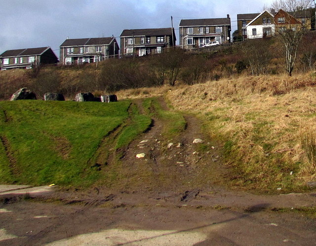
Image: © Jaggery Taken: 27 Feb 2015
Vehicle tracks show that some drivers have taken a shortcut between George Street (out of shot on the left) and Caerau Road behind the camera. Boulders ahead suggest that this route has now been blocked. Cymmer Road houses are in the background.
Images are licensed for reuse under creativecommons.org/licenses/by-sa/2.0
Image Location


Leaflet Map data © OpenStreetMap
Latitude
51.638758
Longitude
-3.651359