Manorway Fleet
Introduction
The photograph on this page of Manorway Fleet by Robin Webster as part of the Geograph project.
The Geograph project started in 2005 with the aim of publishing, organising and preserving representative images for every square kilometre of Great Britain, Ireland and the Isle of Man.

There are currently over 7.5m images from over 14,400 individuals and you can help contribute to the project by visiting https://www.geograph.org.uk
Manorway Fleet
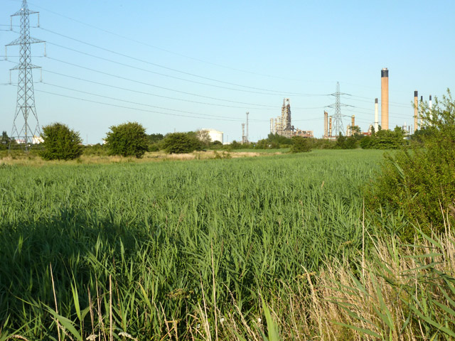
Image: © Robin Webster Taken: 9 Jul 2015
Fifty or sixty years ago, and for a good time thereafter, this view was largely open water fringed with reeds. As time has passed the reeds have closed in over nearly all of the fleet. Fleets are the upper parts of creeks which have been cut off from the sea by the building of sea walls. This was the main continuation of Shell Haven Creek. Sluices were normally made through the sea wall, as in this case, for land drainage at lower states of the tide.
Images are licensed for reuse under creativecommons.org/licenses/by-sa/2.0
Image Location
Latitude
51.516162
Longitude
0.497552