Junction, Gunnislake
Introduction
The photograph on this page of Junction, Gunnislake by Derek Harper as part of the Geograph project.
The Geograph project started in 2005 with the aim of publishing, organising and preserving representative images for every square kilometre of Great Britain, Ireland and the Isle of Man.

There are currently over 7.5m images from over 14,400 individuals and you can help contribute to the project by visiting https://www.geograph.org.uk
Junction, Gunnislake
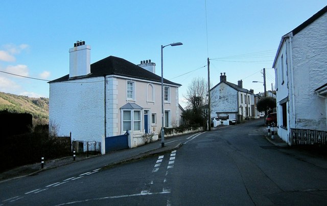
Image: © Derek Harper Taken: 4 Mar 2015
Under Road (left) meets Calstock Road. The village is in the deep Tamar valley, and the sunshine has departed from this side; you can see it on the west-facing slopes.
Images are licensed for reuse under creativecommons.org/licenses/by-sa/2.0
Image Location
Latitude
50.522148
Longitude
-4.212495