East end of Scarletts Well playing field, Bodmin
Introduction
The photograph on this page of East end of Scarletts Well playing field, Bodmin by Robin Stott as part of the Geograph project.
The Geograph project started in 2005 with the aim of publishing, organising and preserving representative images for every square kilometre of Great Britain, Ireland and the Isle of Man.

There are currently over 7.5m images from over 14,400 individuals and you can help contribute to the project by visiting https://www.geograph.org.uk
East end of Scarletts Well playing field, Bodmin
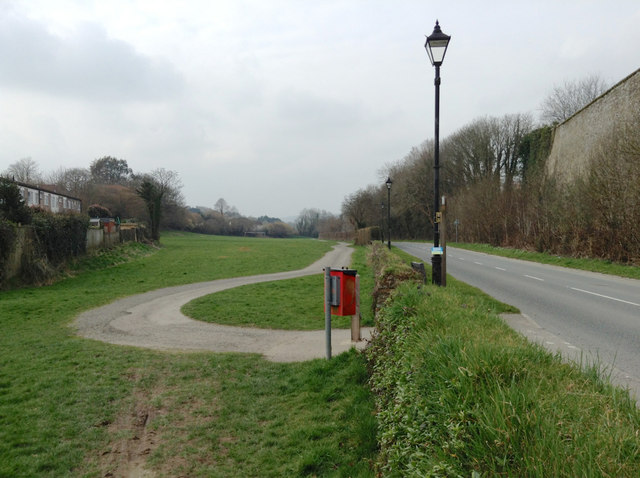
Image: © Robin Stott Taken: 16 Mar 2015
The path is a continuation of the cycleway from Padstow and Wadebridge. On the right is one of the massive walls to the former Bodmin Jail.
Images are licensed for reuse under creativecommons.org/licenses/by-sa/2.0
Image Location
Latitude
50.474119
Longitude
-4.729072