OS benchmark - Ulverley Green, 46 Highwood Avenue
Introduction
The photograph on this page of OS benchmark - Ulverley Green, 46 Highwood Avenue by Richard Law as part of the Geograph project.
The Geograph project started in 2005 with the aim of publishing, organising and preserving representative images for every square kilometre of Great Britain, Ireland and the Isle of Man.

There are currently over 7.5m images from over 14,400 individuals and you can help contribute to the project by visiting https://www.geograph.org.uk
OS benchmark - Ulverley Green, 46 Highwood Avenue
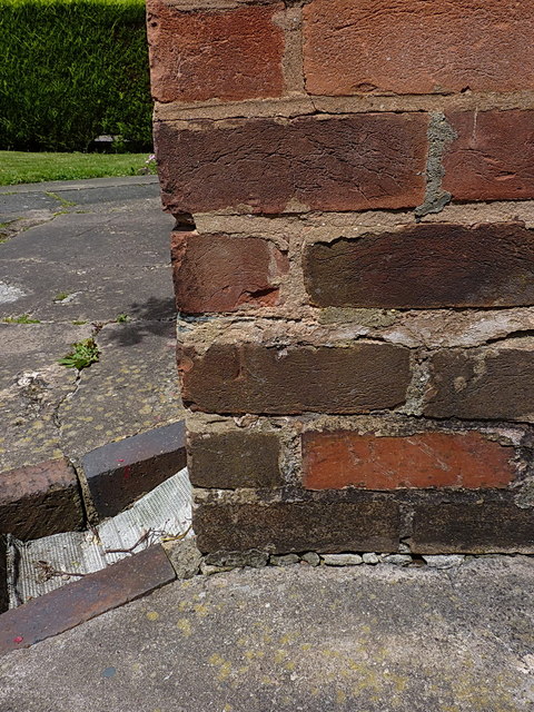
Image: © Richard Law Taken: 23 Jun 2015
The remains of a rather badly battered & abused OS cutmark on the side wall of no 46 Highwood Avenue, which was originally levelled at 121.69m above Ordnance Datum Newlyn.
Images are licensed for reuse under creativecommons.org/licenses/by-sa/2.0
Image Location
Latitude
52.435873
Longitude
-1.787214