End of Lane at Pope's Hole Farm
Introduction
The photograph on this page of End of Lane at Pope's Hole Farm by Jeff Gogarty as part of the Geograph project.
The Geograph project started in 2005 with the aim of publishing, organising and preserving representative images for every square kilometre of Great Britain, Ireland and the Isle of Man.

There are currently over 7.5m images from over 14,400 individuals and you can help contribute to the project by visiting https://www.geograph.org.uk
End of Lane at Pope's Hole Farm
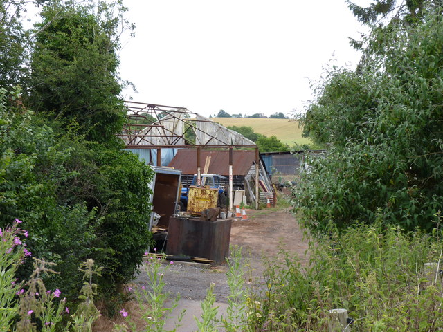
Image: © Jeff Gogarty Taken: 12 Jul 2015
The map shows the track goes further but it looks like you are entering someones yard.
Images are licensed for reuse under creativecommons.org/licenses/by-sa/2.0
Image Location
Latitude
52.27039
Longitude
-2.197645