Luckett
Introduction
The photograph on this page of Luckett by Derek Harper as part of the Geograph project.
The Geograph project started in 2005 with the aim of publishing, organising and preserving representative images for every square kilometre of Great Britain, Ireland and the Isle of Man.

There are currently over 7.5m images from over 14,400 individuals and you can help contribute to the project by visiting https://www.geograph.org.uk
Luckett
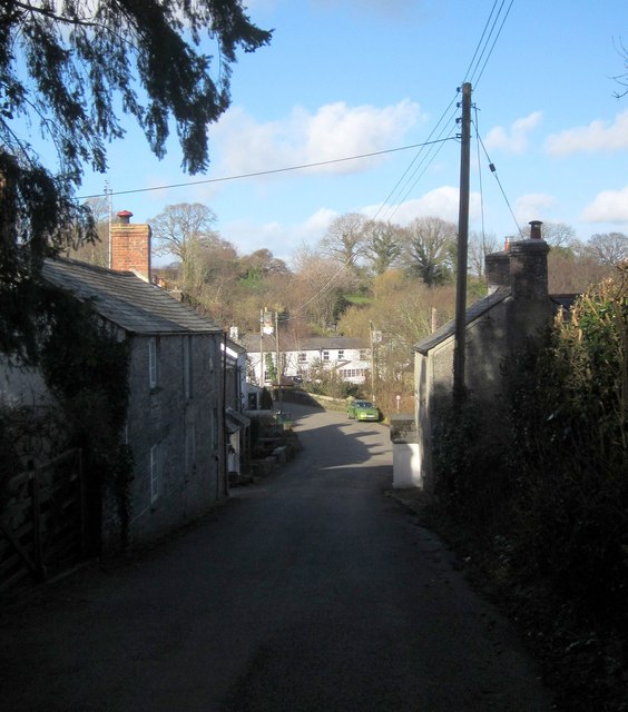
Image: © Derek Harper Taken: 4 Mar 2015
The village street, with Luckett Bridge http://list.historicengland.org.uk/resultsingle.aspx?uid=1220500&searchtype=mapsearch visible just before the row of cottages facing the camera. The whole village forms a conservation area, more than half of which is occupied by the former New Consols Mine, its workings and buildings associated with it.
Images are licensed for reuse under creativecommons.org/licenses/by-sa/2.0
Image Location
Latitude
50.540643
Longitude
-4.274897