3, Boundary Road
Introduction
The photograph on this page of 3, Boundary Road by Simon Carey as part of the Geograph project.
The Geograph project started in 2005 with the aim of publishing, organising and preserving representative images for every square kilometre of Great Britain, Ireland and the Isle of Man.

There are currently over 7.5m images from over 14,400 individuals and you can help contribute to the project by visiting https://www.geograph.org.uk
3, Boundary Road
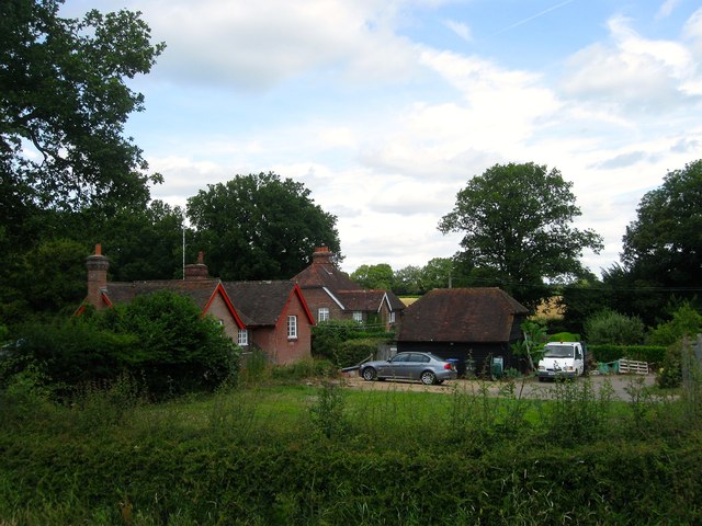
Image: © Simon Carey Taken: 11 Jul 2015
Number three is in the foreground whilst beyond is Image Both buildings seem to have been built when part of the field to the west was used for brick making around the end of the 19th century. Viewed from the footpath that runs through Image to the south.
Images are licensed for reuse under creativecommons.org/licenses/by-sa/2.0
Image Location
Latitude
51.071335
Longitude
-0.110891