High Street
Introduction
The photograph on this page of High Street by Simon Carey as part of the Geograph project.
The Geograph project started in 2005 with the aim of publishing, organising and preserving representative images for every square kilometre of Great Britain, Ireland and the Isle of Man.

There are currently over 7.5m images from over 14,400 individuals and you can help contribute to the project by visiting https://www.geograph.org.uk
High Street
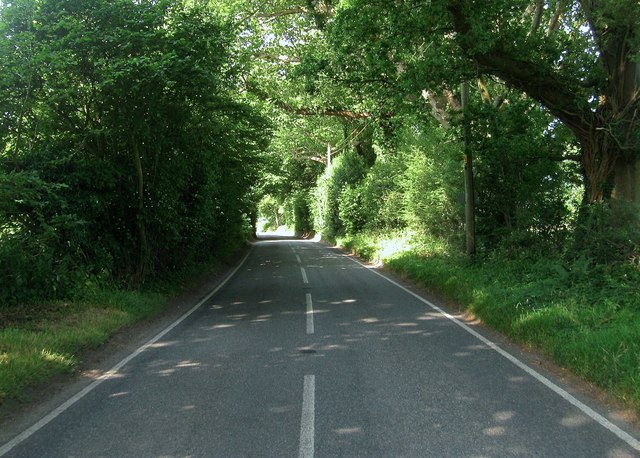
Image: © Simon Carey Taken: 11 Jul 2015
Part of the B2110 that runs from Handcross to East Grinstead via Turners Hill. Unlike most High Streets this one is so named because it runs along a ridge within the High Weald.
Images are licensed for reuse under creativecommons.org/licenses/by-sa/2.0
Image Location
Latitude
51.07666
Longitude
-0.151503