Wittensford, warning sign
Introduction
The photograph on this page of Wittensford, warning sign by Mike Faherty as part of the Geograph project.
The Geograph project started in 2005 with the aim of publishing, organising and preserving representative images for every square kilometre of Great Britain, Ireland and the Isle of Man.

There are currently over 7.5m images from over 14,400 individuals and you can help contribute to the project by visiting https://www.geograph.org.uk
Wittensford, warning sign
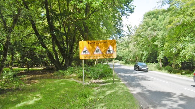
Image: © Mike Faherty Taken: 11 Jul 2015
This section of B3079 passes through Open Forest, and is unfenced. Commoners' cattle and ponies, and wild deer can cross the road at liberty. The road is unfenced until past Brook.
Images are licensed for reuse under creativecommons.org/licenses/by-sa/2.0
Image Location
Latitude
50.922064
Longitude
-1.597325