Clifton Street between the Westlink bridge and Carlisle Circus
Introduction
The photograph on this page of Clifton Street between the Westlink bridge and Carlisle Circus by Eric Jones as part of the Geograph project.
The Geograph project started in 2005 with the aim of publishing, organising and preserving representative images for every square kilometre of Great Britain, Ireland and the Isle of Man.

There are currently over 7.5m images from over 14,400 individuals and you can help contribute to the project by visiting https://www.geograph.org.uk
Clifton Street between the Westlink bridge and Carlisle Circus
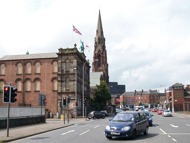
Image: © Eric Jones Taken: 10 Jul 2015
The building flying the huge union flag is the Clifton Street Orange Hall and the steeple is that of the former Carlisle Memorial Methodist Church.
Images are licensed for reuse under creativecommons.org/licenses/by-sa/2.0
Image Location
Latitude
54.607133
Longitude
-5.936385