View north-eastwards along the Westlink (A12)
Introduction
The photograph on this page of View north-eastwards along the Westlink (A12) by Eric Jones as part of the Geograph project.
The Geograph project started in 2005 with the aim of publishing, organising and preserving representative images for every square kilometre of Great Britain, Ireland and the Isle of Man.

There are currently over 7.5m images from over 14,400 individuals and you can help contribute to the project by visiting https://www.geograph.org.uk
View north-eastwards along the Westlink (A12)
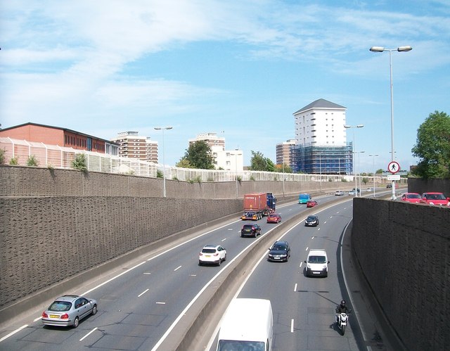
Image: © Eric Jones Taken: 10 Jul 2015
This image was taken from the Clifton Street bridge. The tower blocks are the Artillery Flats in the Nationalist New Lodge area.
Images are licensed for reuse under creativecommons.org/licenses/by-sa/2.0
Image Location
Latitude
54.607094
Longitude
-5.934066