Keld Lane, Hutton-le-Hole
Introduction
The photograph on this page of Keld Lane, Hutton-le-Hole by David Smith as part of the Geograph project.
The Geograph project started in 2005 with the aim of publishing, organising and preserving representative images for every square kilometre of Great Britain, Ireland and the Isle of Man.

There are currently over 7.5m images from over 14,400 individuals and you can help contribute to the project by visiting https://www.geograph.org.uk
Keld Lane, Hutton-le-Hole
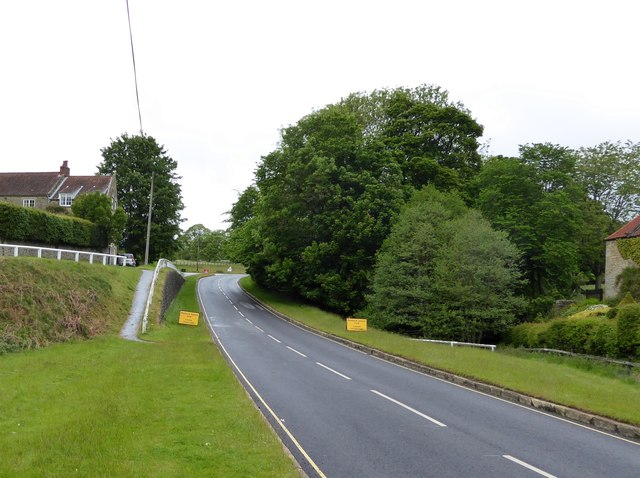
Image: © David Smith Taken: 14 Jun 2015
The road north from the village; the sloping footpath is a link to a minor road through the village on the west bank of the valley
Images are licensed for reuse under creativecommons.org/licenses/by-sa/2.0
Image Location
Latitude
54.301937
Longitude
-0.919674