Leven Road, Kinlochleven
Introduction
The photograph on this page of Leven Road, Kinlochleven by Malc McDonald as part of the Geograph project.
The Geograph project started in 2005 with the aim of publishing, organising and preserving representative images for every square kilometre of Great Britain, Ireland and the Isle of Man.

There are currently over 7.5m images from over 14,400 individuals and you can help contribute to the project by visiting https://www.geograph.org.uk
Leven Road, Kinlochleven
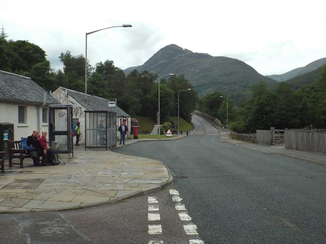
Image: © Malc McDonald Taken: 25 Jun 2015
Leven Road forms part of the B863 road as it passes through the village of Kinlochleven. The B863 runs around Loch Leven. It would previously have formed part of the main road southwards from Fort William towards Oban, until a bridge was built at Ballachulish in the 1970s.
Images are licensed for reuse under creativecommons.org/licenses/by-sa/2.0
Image Location


Leaflet Map data © OpenStreetMap
Latitude
56.712953
Longitude
-4.966858