Heath Lane, Blackheath
Introduction
The photograph on this page of Heath Lane, Blackheath by Stephen Craven as part of the Geograph project.
The Geograph project started in 2005 with the aim of publishing, organising and preserving representative images for every square kilometre of Great Britain, Ireland and the Isle of Man.

There are currently over 7.5m images from over 14,400 individuals and you can help contribute to the project by visiting https://www.geograph.org.uk
Heath Lane, Blackheath
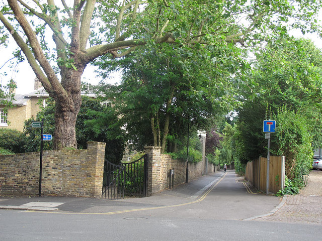
Image: © Stephen Craven Taken: 10 Jul 2015
The top of a road which is a dead end for motor vehicles but a through route across the Kid Brook to Lee for walkers and cyclists.
Images are licensed for reuse under creativecommons.org/licenses/by-sa/2.0
Image Location
Latitude
51.467454
Longitude
-0.001422