Farmland near Waterhouse Farm
Introduction
The photograph on this page of Farmland near Waterhouse Farm by Nigel Jones as part of the Geograph project.
The Geograph project started in 2005 with the aim of publishing, organising and preserving representative images for every square kilometre of Great Britain, Ireland and the Isle of Man.

There are currently over 7.5m images from over 14,400 individuals and you can help contribute to the project by visiting https://www.geograph.org.uk
Farmland near Waterhouse Farm
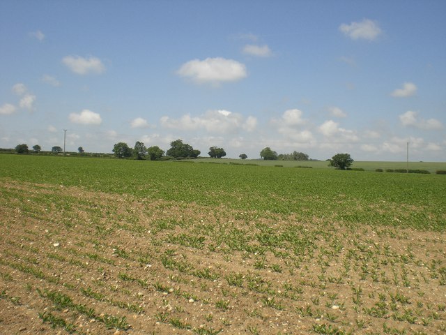
Image: © Nigel Jones Taken: 4 Jun 2007
Young sugar beet with the line of Walsingham Road beyond marked by the hedgerow.
Images are licensed for reuse under creativecommons.org/licenses/by-sa/2.0
Image Location
Latitude
52.854918
Longitude
0.847229