Elmbridge Brook looking downstream
Introduction
The photograph on this page of Elmbridge Brook looking downstream by Jeff Gogarty as part of the Geograph project.
The Geograph project started in 2005 with the aim of publishing, organising and preserving representative images for every square kilometre of Great Britain, Ireland and the Isle of Man.

There are currently over 7.5m images from over 14,400 individuals and you can help contribute to the project by visiting https://www.geograph.org.uk
Elmbridge Brook looking downstream
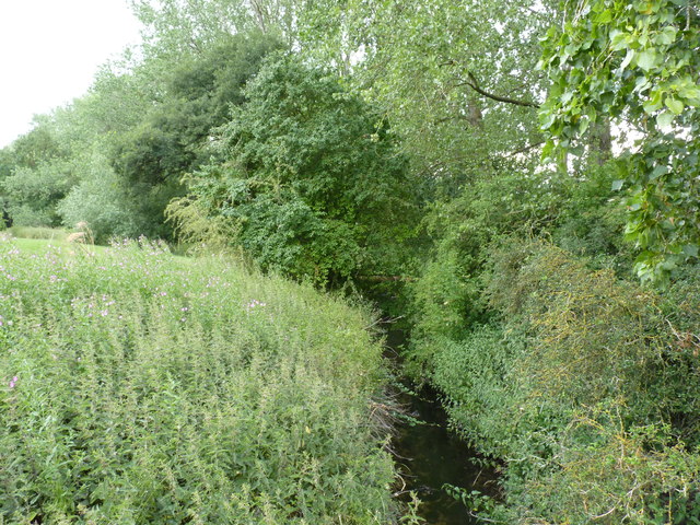
Image: © Jeff Gogarty Taken: 10 Jul 2015
The stream forms the parish boundary between Droitwich Spa and Hampton Lovett. The Westlands housing estate extends almost to the boundary and this taken from a footbridge near Paddock Close. Image faces upstream.
Images are licensed for reuse under creativecommons.org/licenses/by-sa/2.0
Image Location
Latitude
52.277176
Longitude
-2.169827