Chalfont St Peter: Chalfont Park Lake (2)
Introduction
The photograph on this page of Chalfont St Peter: Chalfont Park Lake (2) by Nigel Cox as part of the Geograph project.
The Geograph project started in 2005 with the aim of publishing, organising and preserving representative images for every square kilometre of Great Britain, Ireland and the Isle of Man.

There are currently over 7.5m images from over 14,400 individuals and you can help contribute to the project by visiting https://www.geograph.org.uk
Chalfont St Peter: Chalfont Park Lake (2)
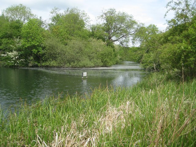
Image: © Nigel Cox Taken: 24 May 2015
The lake was formed as part of the landscaping of Chalfont Park House by the damming up of a reach of the River Misbourne. This view was taken from the public footpath running along the eastern edge of the lake, and shows the channel separating the main island in the lake from the ground to the east.
Images are licensed for reuse under creativecommons.org/licenses/by-sa/2.0
Image Location
Latitude
51.59458
Longitude
-0.54303