Roadworks on the A361 near the Chivenor Cross housing development
Introduction
The photograph on this page of Roadworks on the A361 near the Chivenor Cross housing development by Roger A Smith as part of the Geograph project.
The Geograph project started in 2005 with the aim of publishing, organising and preserving representative images for every square kilometre of Great Britain, Ireland and the Isle of Man.

There are currently over 7.5m images from over 14,400 individuals and you can help contribute to the project by visiting https://www.geograph.org.uk
Roadworks on the A361 near the Chivenor Cross housing development
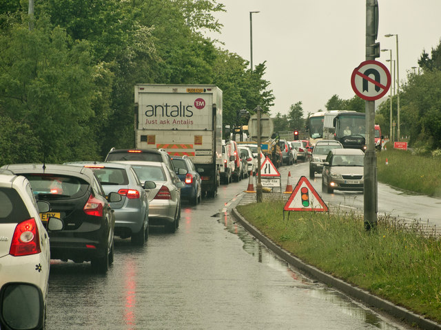
Image: © Roger A Smith Taken: 14 May 2015
According to a local newspaper this development "....will see a mixed use development with 150 homes, plus employment land. It included plans for ‘multi purpose hub’ that could include a community building, plus open spaces and a park and ride."
Images are licensed for reuse under creativecommons.org/licenses/by-sa/2.0
Image Location
Latitude
51.094556
Longitude
-4.138027