86 Upper Village Road Sunninghill
Introduction
The photograph on this page of 86 Upper Village Road Sunninghill by Mick Crawley as part of the Geograph project.
The Geograph project started in 2005 with the aim of publishing, organising and preserving representative images for every square kilometre of Great Britain, Ireland and the Isle of Man.

There are currently over 7.5m images from over 14,400 individuals and you can help contribute to the project by visiting https://www.geograph.org.uk
86 Upper Village Road Sunninghill
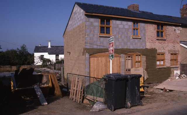
Image: © Mick Crawley Taken: 15 Oct 1995
The extension was built in 1995, here nearing completion in October of that year. The Forge (to the left) has been demolished at this stage, but the new building has not yet been erected
Images are licensed for reuse under creativecommons.org/licenses/by-sa/2.0
Image Location
Latitude
51.402453
Longitude
-0.658979