Field near Holwell House
Introduction
The photograph on this page of Field near Holwell House by Derek Harper as part of the Geograph project.
The Geograph project started in 2005 with the aim of publishing, organising and preserving representative images for every square kilometre of Great Britain, Ireland and the Isle of Man.

There are currently over 7.5m images from over 14,400 individuals and you can help contribute to the project by visiting https://www.geograph.org.uk
Field near Holwell House
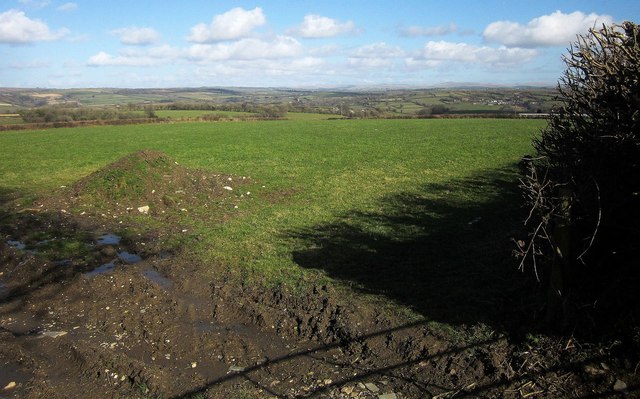
Image: © Derek Harper Taken: 4 Mar 2015
Looking along the line of footpath 553 13/1 as it leaves the lane shown in Image] and heads diagonally across the field towards South Alston. A good view from here across to Dartmoor, with the church tower of Sydenham Damerel visible at larger magnifications in the centre.
Images are licensed for reuse under creativecommons.org/licenses/by-sa/2.0
Image Location
Latitude
50.551415
Longitude
-4.285157