Ford, River Coquet, Harbottle
Introduction
The photograph on this page of Ford, River Coquet, Harbottle by Andy Gryce as part of the Geograph project.
The Geograph project started in 2005 with the aim of publishing, organising and preserving representative images for every square kilometre of Great Britain, Ireland and the Isle of Man.

There are currently over 7.5m images from over 14,400 individuals and you can help contribute to the project by visiting https://www.geograph.org.uk
Ford, River Coquet, Harbottle
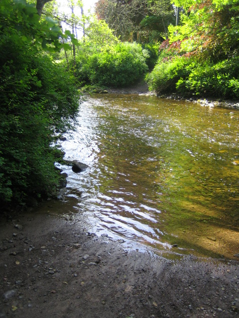
Image: © Andy Gryce Taken: 27 May 2007
This ford lies on an unclassified road that comes from the village of Harbottle about 250m away on the other bank and then goes towards Biddlestone. It is unlikely that ordinary vehicles use this ford; it is not signposted, it is rough and deep, and visitors to the farms further along this road have to go via Sharperton 3km to the east. However recent tracks in the silt either side of the ford suggest that it is no barrier to tractors. The placename Harbottle means the 'dwelling of the hirelings'.
Images are licensed for reuse under creativecommons.org/licenses/by-sa/2.0
Image Location
Latitude
55.336394
Longitude
-2.100864