Basford: Greenwich Avenue Playing Fields
Introduction
The photograph on this page of Basford: Greenwich Avenue Playing Fields by John Sutton as part of the Geograph project.
The Geograph project started in 2005 with the aim of publishing, organising and preserving representative images for every square kilometre of Great Britain, Ireland and the Isle of Man.

There are currently over 7.5m images from over 14,400 individuals and you can help contribute to the project by visiting https://www.geograph.org.uk
Basford: Greenwich Avenue Playing Fields
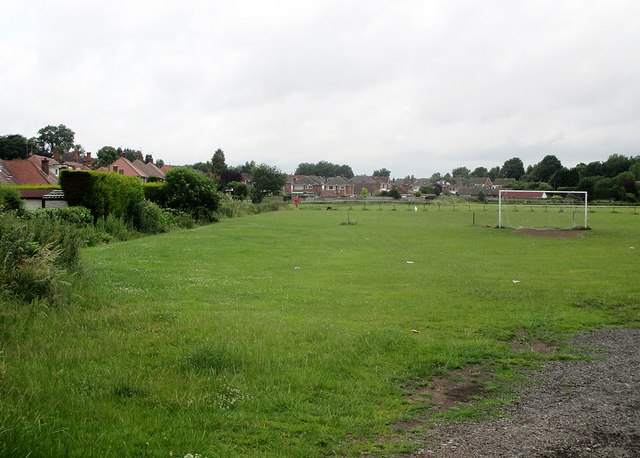
Image: © John Sutton Taken: 7 Jul 2015
When I was at school this was our playing field. The houses on the left are on Greenwich Avenue. The trees in the distance on the right mark the former course of the Nottingham Victoria to Derby Friargate railway line, which crossed this part of Basford on a high embankment since levelled.
Images are licensed for reuse under creativecommons.org/licenses/by-sa/2.0
Image Location
Latitude
52.987527
Longitude
-1.191689