Nash's Slope Silwood Park
Introduction
The photograph on this page of Nash's Slope Silwood Park by Mick Crawley as part of the Geograph project.
The Geograph project started in 2005 with the aim of publishing, organising and preserving representative images for every square kilometre of Great Britain, Ireland and the Isle of Man.

There are currently over 7.5m images from over 14,400 individuals and you can help contribute to the project by visiting https://www.geograph.org.uk
Nash's Slope Silwood Park
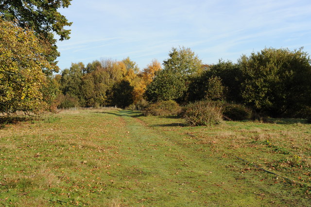
Image: © Mick Crawley Taken: 13 Nov 2013
An early autumn view along the grass track separating Nash's Field (to the left) from Pond Field (to the right). The oaks and birches to the right of centre recruited inside rabbit fences erected in 1996 (i.e. 17 years before the picture was taken)
Images are licensed for reuse under creativecommons.org/licenses/by-sa/2.0
Image Location
Latitude
51.412611
Longitude
-0.643008