No Through Road
Introduction
The photograph on this page of No Through Road by Ian Paterson as part of the Geograph project.
The Geograph project started in 2005 with the aim of publishing, organising and preserving representative images for every square kilometre of Great Britain, Ireland and the Isle of Man.

There are currently over 7.5m images from over 14,400 individuals and you can help contribute to the project by visiting https://www.geograph.org.uk
No Through Road
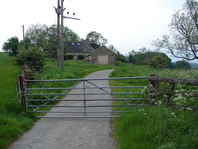
Image: © Ian Paterson Taken: 3 Jun 2007
This is Fox Holes. The map shows an unclassified road that seems to be navigable, but it is extremely narrow. Reverse gear all the way back to Derwent Grange!
Images are licensed for reuse under creativecommons.org/licenses/by-sa/2.0
Image Location
Latitude
54.837042
Longitude
-1.900015