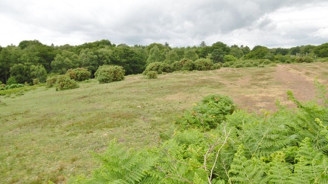
Blackwell Common, heathland
Introduction
The photograph on this page of Blackwell Common, heathland by Mike Faherty as part of the Geograph project.
The Geograph project started in 2005 with the aim of publishing, organising and preserving representative images for every square kilometre of Great Britain, Ireland and the Isle of Man.
There are currently over 7.5m images from over 14,400 individuals and you can help contribute to the project by visiting https://www.geograph.org.uk

Image: © Mike Faherty Taken: 8 Jul 2015
Looking up towards Row Down, with the common sloping down on the left towards Dark Water. The word "common" suggests that this stretch of land was not originally Open Forest, but an "adjacent common", owned by a local manor, in this case, probably Langley. Whatever, the common shares features of Open Forest nearby, and is managed by the Forestry Commission.

