Moorland view
Introduction
The photograph on this page of Moorland view by Ian Paterson as part of the Geograph project.
The Geograph project started in 2005 with the aim of publishing, organising and preserving representative images for every square kilometre of Great Britain, Ireland and the Isle of Man.

There are currently over 7.5m images from over 14,400 individuals and you can help contribute to the project by visiting https://www.geograph.org.uk
Moorland view
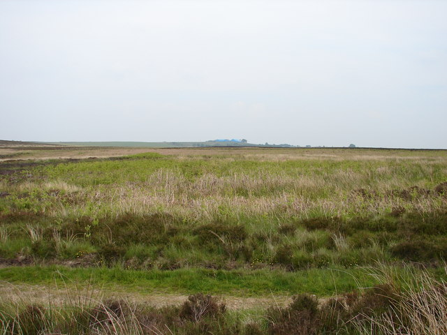
Image: © Ian Paterson Taken: 3 Jun 2007
The blue farm buildings in the distance belong to Mount Pleasant Farm in the adjacent grid. To the right of these buildings can just be made out the roof of Lindisfarne, which is in the same grid. Apart from that, there's lots and lots of moorland.
Images are licensed for reuse under creativecommons.org/licenses/by-sa/2.0
Image Location
Latitude
54.811596
Longitude
-1.883584