Lane near Trehingsta
Introduction
The photograph on this page of Lane near Trehingsta by Derek Harper as part of the Geograph project.
The Geograph project started in 2005 with the aim of publishing, organising and preserving representative images for every square kilometre of Great Britain, Ireland and the Isle of Man.

There are currently over 7.5m images from over 14,400 individuals and you can help contribute to the project by visiting https://www.geograph.org.uk
Lane near Trehingsta
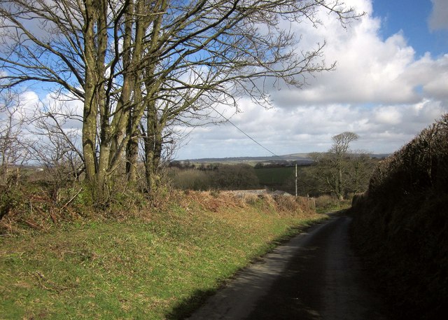
Image: © Derek Harper Taken: 4 Mar 2015
The lane from Bray Shop on a long descent towards the Inny valley. A couple of roofs at the farm at Trehingsta can just be seen above the bank.
Images are licensed for reuse under creativecommons.org/licenses/by-sa/2.0
Image Location
Latitude
50.560327
Longitude
-4.347999