Directions and distances from Ellwood Green
Introduction
The photograph on this page of Directions and distances from Ellwood Green by Jaggery as part of the Geograph project.
The Geograph project started in 2005 with the aim of publishing, organising and preserving representative images for every square kilometre of Great Britain, Ireland and the Isle of Man.

There are currently over 7.5m images from over 14,400 individuals and you can help contribute to the project by visiting https://www.geograph.org.uk
Directions and distances from Ellwood Green
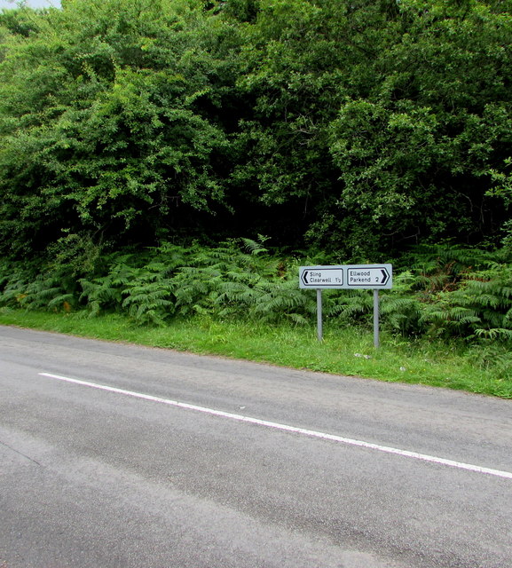
Image: © Jaggery Taken: 5 Jul 2015
In the Forest of Dean District of west Gloucestershire, the signs face the Marsh Lane junction. Left for Clearwell (1½ miles) and Sling, right for Parkend (2) and Ellwood.
Images are licensed for reuse under creativecommons.org/licenses/by-sa/2.0
Image Location
Latitude
51.77238
Longitude
-2.599809