Ferryside Farmhouse
Introduction
The photograph on this page of Ferryside Farmhouse by Jaggery as part of the Geograph project.
The Geograph project started in 2005 with the aim of publishing, organising and preserving representative images for every square kilometre of Great Britain, Ireland and the Isle of Man.

There are currently over 7.5m images from over 14,400 individuals and you can help contribute to the project by visiting https://www.geograph.org.uk
Ferryside Farmhouse
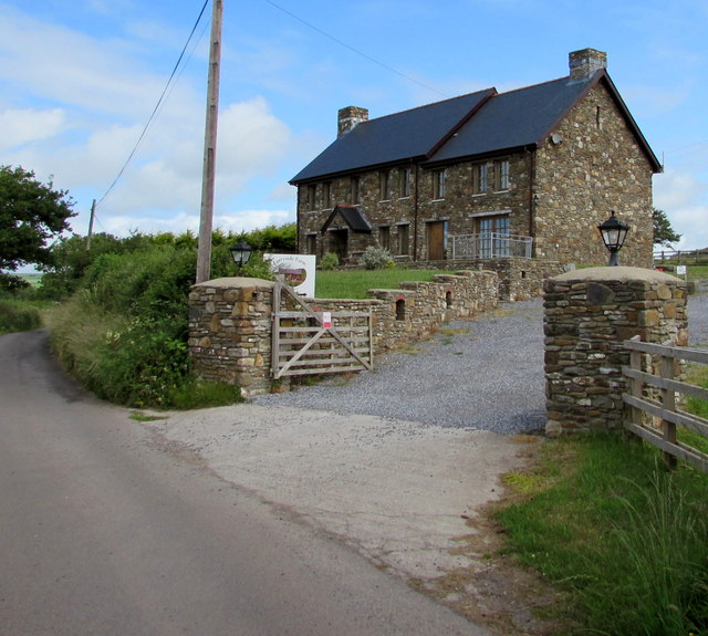
Image: © Jaggery Taken: 4 Jul 2015
Self-catering or B&B holiday home set back from a lane, near Ferryside Farm touring caravan & campsite.
Images are licensed for reuse under creativecommons.org/licenses/by-sa/2.0
Image Location
Latitude
51.775281
Longitude
-4.360978