Cefncarnau Summit
Introduction
The photograph on this page of Cefncarnau Summit by Rude Health as part of the Geograph project.
The Geograph project started in 2005 with the aim of publishing, organising and preserving representative images for every square kilometre of Great Britain, Ireland and the Isle of Man.

There are currently over 7.5m images from over 14,400 individuals and you can help contribute to the project by visiting https://www.geograph.org.uk
Cefncarnau Summit
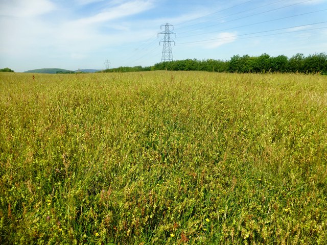
Image: © Rude Health Taken: 3 Jul 2015
Parked in layby to WSW then followed bridleway to allow access to field and alternative high point. Overgrown grassland meadow which is attracting butterflies. Name: Cefncarnau Hill number: 15731 Height: 270m / 886ft Parent (Ma/M): 2300 Craig yr Allt Section: 32C: Neath to Chepstow County/UA: Caerphilly (UA) Class: Tump (200-299m) Grid ref: ST 16629 84810 Summit feature: no feature: ground in field Drop: 32m Col: 238m ST158849 Observations: woodland edge at ST 1645 8471 may be as high
Images are licensed for reuse under creativecommons.org/licenses/by-sa/2.0
Image Location
Latitude
51.55599
Longitude
-3.203944