Final preparations at Beeston Interchange
Introduction
The photograph on this page of Final preparations at Beeston Interchange by Alan Murray-Rust as part of the Geograph project.
The Geograph project started in 2005 with the aim of publishing, organising and preserving representative images for every square kilometre of Great Britain, Ireland and the Isle of Man.

There are currently over 7.5m images from over 14,400 individuals and you can help contribute to the project by visiting https://www.geograph.org.uk
Final preparations at Beeston Interchange
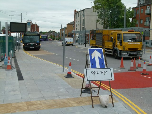
Image: © Alan Murray-Rust Taken: 6 Jul 2015
The interchange was due to open to bus operation on 12th July, ahead of the commencement of tram service. Bus operators were given the go-ahead to train staff to be familiar with the layout, but were hampered by the fact that most of the bus stands were occupied by contractors' vehicles.
Images are licensed for reuse under creativecommons.org/licenses/by-sa/2.0
Image Location
Latitude
52.925114
Longitude
-1.21457