Pant Y Gof
Introduction
The photograph on this page of Pant Y Gof by Nigel Mykura as part of the Geograph project.
The Geograph project started in 2005 with the aim of publishing, organising and preserving representative images for every square kilometre of Great Britain, Ireland and the Isle of Man.

There are currently over 7.5m images from over 14,400 individuals and you can help contribute to the project by visiting https://www.geograph.org.uk
Pant Y Gof
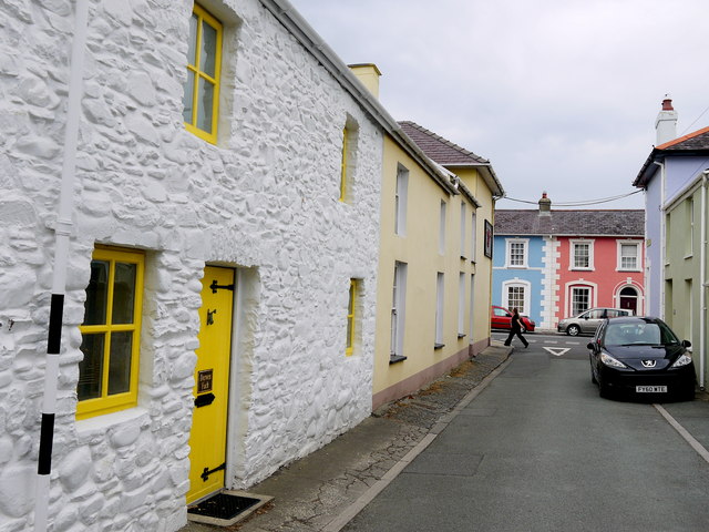
Image: © Nigel Mykura Taken: 1 Jul 2015
This old residential street is on the edge of Aberaeron and runs from South Road just behind the photographer to North Road where the blue and pink houses are and which is just in the next grid square SN4562.
Images are licensed for reuse under creativecommons.org/licenses/by-sa/2.0
Image Location
Latitude
52.24277
Longitude
-4.256965