Upton: A4500 Weedon Road & St Crispin Drive junction
Introduction
The photograph on this page of Upton: A4500 Weedon Road & St Crispin Drive junction by Nigel Cox as part of the Geograph project.
The Geograph project started in 2005 with the aim of publishing, organising and preserving representative images for every square kilometre of Great Britain, Ireland and the Isle of Man.

There are currently over 7.5m images from over 14,400 individuals and you can help contribute to the project by visiting https://www.geograph.org.uk
Upton: A4500 Weedon Road & St Crispin Drive junction
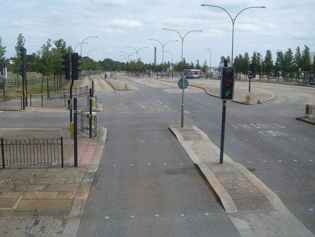
Image: © Nigel Cox Taken: 29 Jun 2015
This large junction has been built in anticipation of the increased amount of traffic arising out of the ongoing and future large residential development to the west of Northampton. This is the view from the upper deck of a D1 bus from Daventry, with the lift testing tower in Image prominent on the horizon.
Images are licensed for reuse under creativecommons.org/licenses/by-sa/2.0
Image Location
Latitude
52.236021
Longitude
-0.947824