Conegar Hill
Introduction
The photograph on this page of Conegar Hill by Derek Harper as part of the Geograph project.
The Geograph project started in 2005 with the aim of publishing, organising and preserving representative images for every square kilometre of Great Britain, Ireland and the Isle of Man.

There are currently over 7.5m images from over 14,400 individuals and you can help contribute to the project by visiting https://www.geograph.org.uk
Conegar Hill
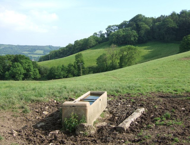
Image: © Derek Harper Taken: 4 Jun 2007
The east side of Conegar Hill, with Little Pitt Coppice on the horizon, and Great Pitt Coppice in the valley. The view is from Becklands Lane, near Heritage, with a drinking trough in the foreground.
Images are licensed for reuse under creativecommons.org/licenses/by-sa/2.0
Image Location


Leaflet Map data © OpenStreetMap
Latitude
50.75578
Longitude
-2.878896