Wellfield Terrace houses, Ferryside
Introduction
The photograph on this page of Wellfield Terrace houses, Ferryside by Jaggery as part of the Geograph project.
The Geograph project started in 2005 with the aim of publishing, organising and preserving representative images for every square kilometre of Great Britain, Ireland and the Isle of Man.

There are currently over 7.5m images from over 14,400 individuals and you can help contribute to the project by visiting https://www.geograph.org.uk
Wellfield Terrace houses, Ferryside
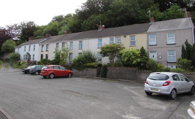
Image: © Jaggery Taken: 4 Jul 2015
Row of six houses viewed from the corner of Water Street.
Images are licensed for reuse under creativecommons.org/licenses/by-sa/2.0
Image Location
Latitude
51.769334
Longitude
-4.36603