At Brookside Farm
Introduction
The photograph on this page of At Brookside Farm by Stefan Czapski as part of the Geograph project.
The Geograph project started in 2005 with the aim of publishing, organising and preserving representative images for every square kilometre of Great Britain, Ireland and the Isle of Man.

There are currently over 7.5m images from over 14,400 individuals and you can help contribute to the project by visiting https://www.geograph.org.uk
At Brookside Farm
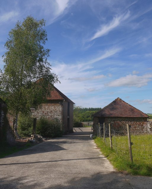
Image: © Stefan Czapski Taken: 4 Jul 2015
The farm would seem to take its name from a tributary of the River Rother, which flows nearby. Though it isn't immediately obvious, there is a contrast in building materials here - the smaller building is of local sandstone (Bargate stone, perhaps) while the larger one is brick-built.
Images are licensed for reuse under creativecommons.org/licenses/by-sa/2.0
Image Location
Latitude
50.963266
Longitude
-0.659415