Pentre-wylan Summit
Introduction
The photograph on this page of Pentre-wylan Summit by Rude Health as part of the Geograph project.
The Geograph project started in 2005 with the aim of publishing, organising and preserving representative images for every square kilometre of Great Britain, Ireland and the Isle of Man.

There are currently over 7.5m images from over 14,400 individuals and you can help contribute to the project by visiting https://www.geograph.org.uk
Pentre-wylan Summit
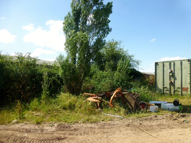
Image: © Rude Health Taken: 4 Jul 2015
A short walk near farm with Chris Peart and Colin Crawford. Name: Pentre-wylan Hill number: 15879 Height: 103m / 338ft Parent (Ma/M): 2272 Graig Syfyrddin [Edmund's Tump] Section: 32A: Llandovery to Monmouth County/UA: Monmouthshire [Sir Fynwy] (CoU) Class: Tump (100-199m) Grid ref: SO 37510 14284 Summit feature: ground by hedge E side of barn Drop: 34m Col: 69m SO381141
Images are licensed for reuse under creativecommons.org/licenses/by-sa/2.0
Image Location
Latitude
51.82363
Longitude
-2.90809