Hardings Down
Introduction
The photograph on this page of Hardings Down by Rude Health as part of the Geograph project.
The Geograph project started in 2005 with the aim of publishing, organising and preserving representative images for every square kilometre of Great Britain, Ireland and the Isle of Man.

There are currently over 7.5m images from over 14,400 individuals and you can help contribute to the project by visiting https://www.geograph.org.uk
Hardings Down
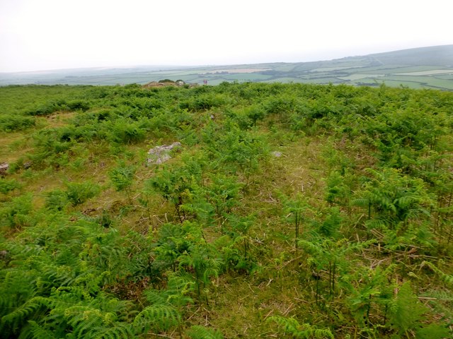
Image: © Rude Health Taken: 1 Jul 2015
Highest point has a metal pipe sticking out of the ground. Name: Hardings Down Hill number: 15819 Height: 152m / 499ft Parent (Ma/M): 2280 Mynydd y Betws Section: 32B: Carmarthen to Vale of Neath County/UA: Swansea (UA) Class: Tump (100-199m) Grid ref: SS 43682 90662 Summit feature: ground by metal pipe Drop: 49m Col: 103m SS436914
Images are licensed for reuse under creativecommons.org/licenses/by-sa/2.0
Image Location
Latitude
51.593059
Longitude
-4.258068