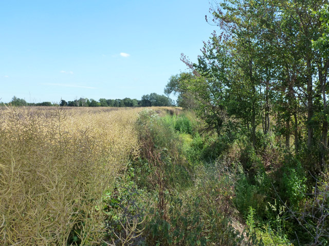
Thurrock footpath 132, South Ockendon
Introduction
The photograph on this page of Thurrock footpath 132, South Ockendon by Robin Webster as part of the Geograph project.
The Geograph project started in 2005 with the aim of publishing, organising and preserving representative images for every square kilometre of Great Britain, Ireland and the Isle of Man.
There are currently over 7.5m images from over 14,400 individuals and you can help contribute to the project by visiting https://www.geograph.org.uk

Image: © Robin Webster Taken: 4 Jul 2015
This central section from the junction with footpath 134 south to the stile at Great Mollands Farm is almost impassable at this time of year. A crop of oilseed rape is planted up close to the ditch, and the level surface left, if any, is choked with rank vegetation - hogweed, nettles and cleavers being the most awkward. Nobody had recently tried the transit from north to south, but on nearing the stile at the end of the field there were signs someone had tried south to north and given up. Nearly 500 metres of hard work on a hot day.

