Garage to Let, Farm Road
Introduction
The photograph on this page of Garage to Let, Farm Road by Simon Carey as part of the Geograph project.
The Geograph project started in 2005 with the aim of publishing, organising and preserving representative images for every square kilometre of Great Britain, Ireland and the Isle of Man.

There are currently over 7.5m images from over 14,400 individuals and you can help contribute to the project by visiting https://www.geograph.org.uk
Garage to Let, Farm Road
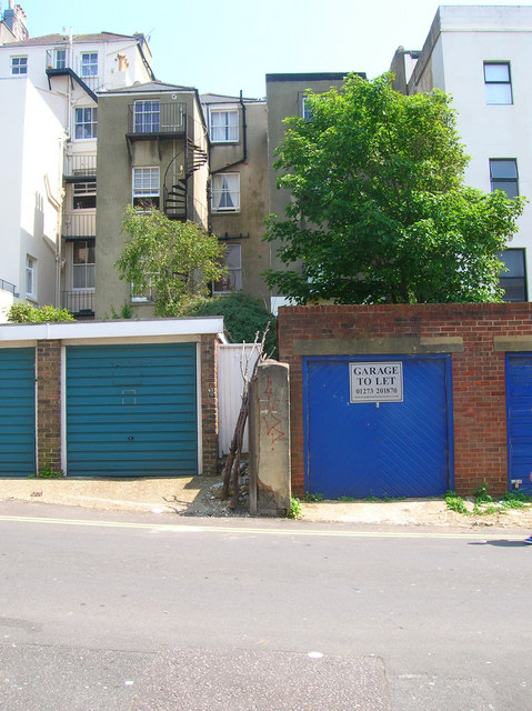
Image: © Simon Carey Taken: 3 Jun 2007
Looking eastwards with the backs of the houses in Brunswick Place beyond. Farm Road is squeezed between the major developments of Brunswick and Lansdowne Place and once its original purpose as a route to the local farm was no more became a service road for the two estates.
Images are licensed for reuse under creativecommons.org/licenses/by-sa/2.0
Image Location


Leaflet Map data © OpenStreetMap
Latitude
50.826671
Longitude
-0.158696