Farm Road
Introduction
The photograph on this page of Farm Road by Simon Carey as part of the Geograph project.
The Geograph project started in 2005 with the aim of publishing, organising and preserving representative images for every square kilometre of Great Britain, Ireland and the Isle of Man.

There are currently over 7.5m images from over 14,400 individuals and you can help contribute to the project by visiting https://www.geograph.org.uk
Farm Road
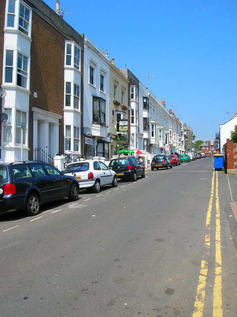
Image: © Simon Carey Taken: 3 Jun 2007
Squeezed between Brunswick Place and Lansdowne Place and originally the road to the local manor and farm. The western side is built up whereas the eastern part is a mixture of dwellings and garages.
Images are licensed for reuse under creativecommons.org/licenses/by-sa/2.0
Image Location


Leaflet Map data © OpenStreetMap
Latitude
50.827125
Longitude
-0.158962