Runoff storage area
Introduction
The photograph on this page of Runoff storage area by Hugh Venables as part of the Geograph project.
The Geograph project started in 2005 with the aim of publishing, organising and preserving representative images for every square kilometre of Great Britain, Ireland and the Isle of Man.

There are currently over 7.5m images from over 14,400 individuals and you can help contribute to the project by visiting https://www.geograph.org.uk
Runoff storage area
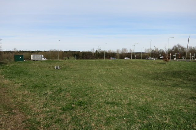
Image: © Hugh Venables Taken: 2 Apr 2015
Depression with an inflow pipe to take storm runoff from the surrounding roads and houses.
Images are licensed for reuse under creativecommons.org/licenses/by-sa/2.0
Image Location
Latitude
52.092298
Longitude
0.409019