Balcombe Recreation Ground
Introduction
The photograph on this page of Balcombe Recreation Ground by Simon Carey as part of the Geograph project.
The Geograph project started in 2005 with the aim of publishing, organising and preserving representative images for every square kilometre of Great Britain, Ireland and the Isle of Man.

There are currently over 7.5m images from over 14,400 individuals and you can help contribute to the project by visiting https://www.geograph.org.uk
Balcombe Recreation Ground
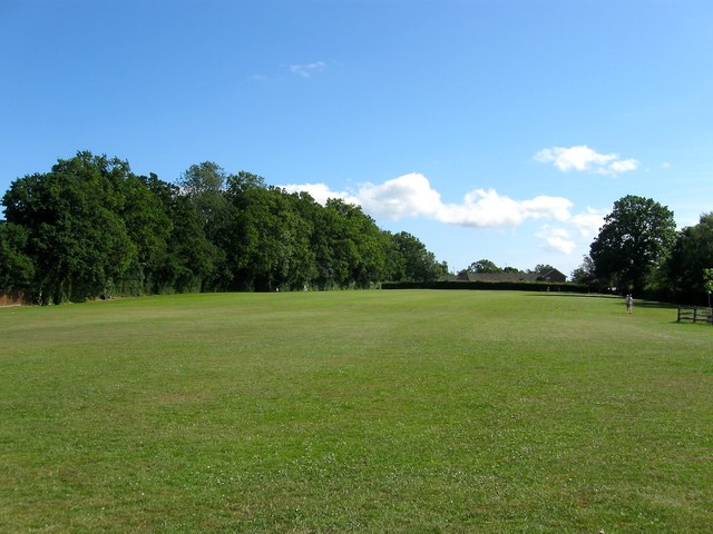
Image: © Simon Carey Taken: 4 Jul 2015
In the centre of the village with a public footpath running along the eastern side. The field was given to the village during the 1920s and was originally two fields called Still Field and Three Acres according to Balcombe's 1839 tithe map.
Images are licensed for reuse under creativecommons.org/licenses/by-sa/2.0
Image Location
Latitude
51.057755
Longitude
-0.133277