Rocks Lane, Balcombe
Introduction
The photograph on this page of Rocks Lane, Balcombe by Simon Carey as part of the Geograph project.
The Geograph project started in 2005 with the aim of publishing, organising and preserving representative images for every square kilometre of Great Britain, Ireland and the Isle of Man.

There are currently over 7.5m images from over 14,400 individuals and you can help contribute to the project by visiting https://www.geograph.org.uk
Rocks Lane, Balcombe
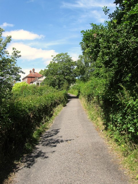
Image: © Simon Carey Taken: 4 Jul 2015
The old route south to Cuckfield was superseded by the construction of the Redhill-Cuckfield turnpike in 1809. The narrow lane rejoins that highway north of Brook Street changing its name three times in the process - Rocks Lane, then Rowhill Lane and finally Pilstye Lane. Hill End and Rocks Lane cottage are the buildings in view.
Images are licensed for reuse under creativecommons.org/licenses/by-sa/2.0
Image Location
Latitude
51.058056
Longitude
-0.135262