Glan yr Ystrad, Ferryside
Introduction
The photograph on this page of Glan yr Ystrad, Ferryside by Jaggery as part of the Geograph project.
The Geograph project started in 2005 with the aim of publishing, organising and preserving representative images for every square kilometre of Great Britain, Ireland and the Isle of Man.

There are currently over 7.5m images from over 14,400 individuals and you can help contribute to the project by visiting https://www.geograph.org.uk
Glan yr Ystrad, Ferryside
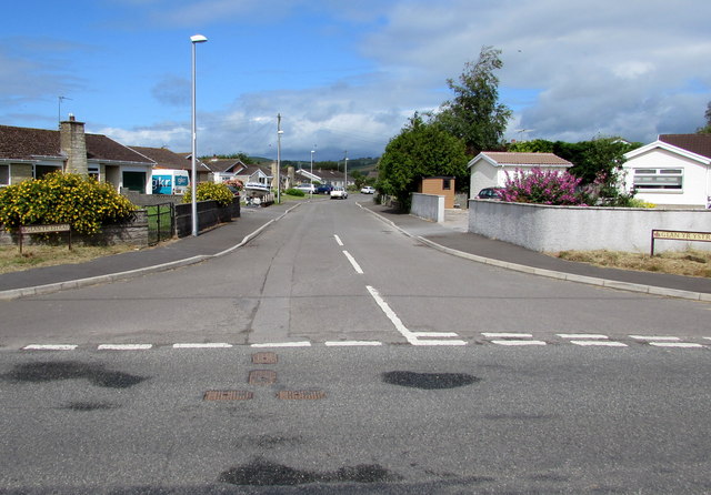
Image: © Jaggery Taken: 4 Jul 2015
Cul-de-sac of bungalows viewed across Carmarthen Road.
Images are licensed for reuse under creativecommons.org/licenses/by-sa/2.0
Image Location


Leaflet Map data © OpenStreetMap
Latitude
51.77373
Longitude
-4.362056